Take a 360° virtual tour through ITER
The ITER Organization has released a new tool on its website—the 360° virtual tour of ITER construction. Hosted on a powerful server and updated with new photos and drone videos four times a year, it's the next best thing to being on site.

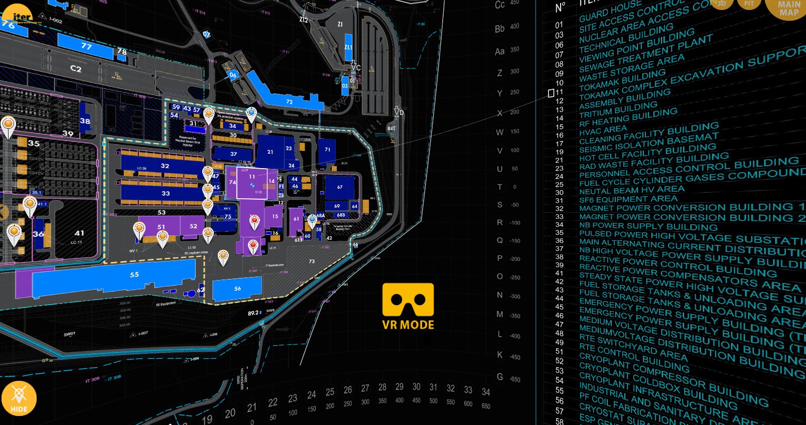
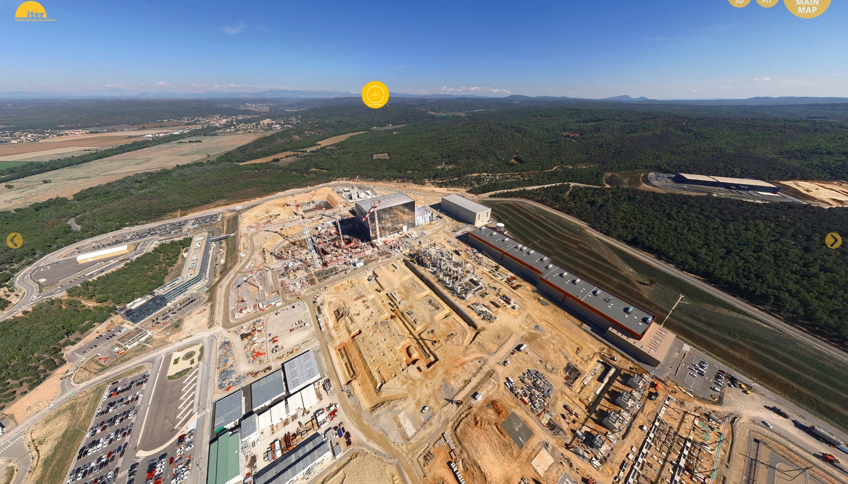
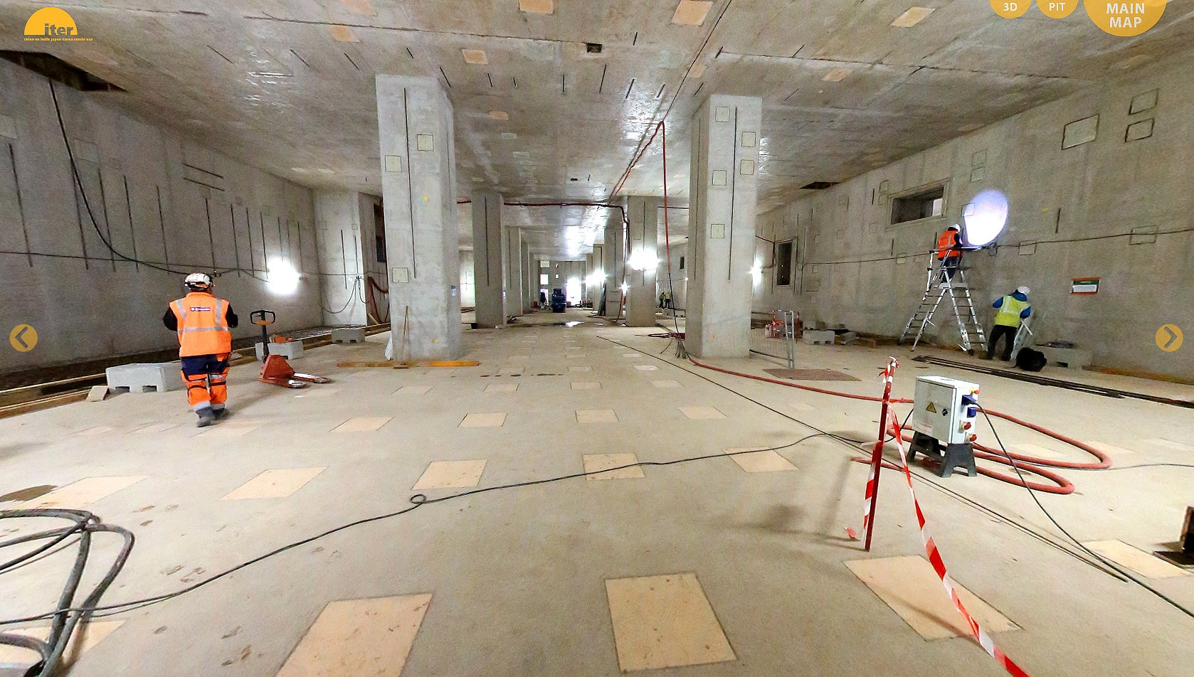
From the various schematics of the construction platform offered in the opening interface, choose your point of entry: click on a red teardrop-shaped marker to follow a drone inside the buildings, a yellow marker for a tour at ground level, or a blue marker if you prefer to stay at bird's eye view.

Here are instructions for using the 2D version:
- Open the tool to navigate the 360-degree viewer interface. Scroll as desired to choose between site plans and a list of additional features.
- Each of the teardrop shapes represents a drone video. Blue corresponds to aerial videos, yellow to ground-level videos, and red to interior views.
- Click on a teardrop to open a drone video. Use your mouse to scroll and the (+) and (-) buttons to zoom in and out. To return to the home graphic, click on "Main Map" button in the upper right of the screen.
- Data sets are stored in the application for July 2016 and October 2016. Explore them both to see recent progress in ITER construction!

But a large investment isn't necessary for your own immersive "wow" moment: any version of Google Cardboard or a similar low-tech 3D viewer will plug you into the drone videos. Just open the application from your cell phone and insert the cell phone (without casing) into the viewer. Click on the yellow viewer symbol "VR Mode."