Finding your way
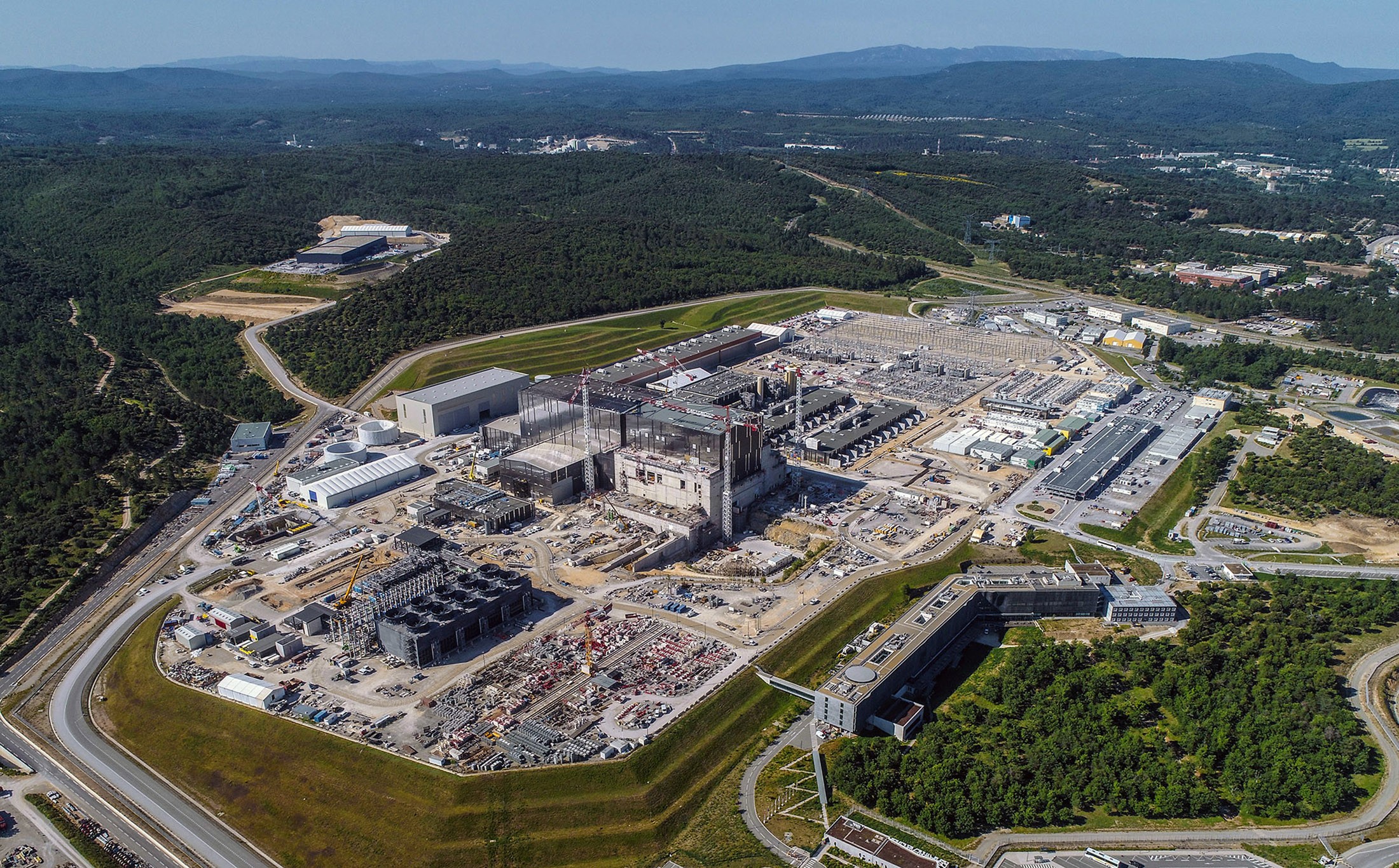
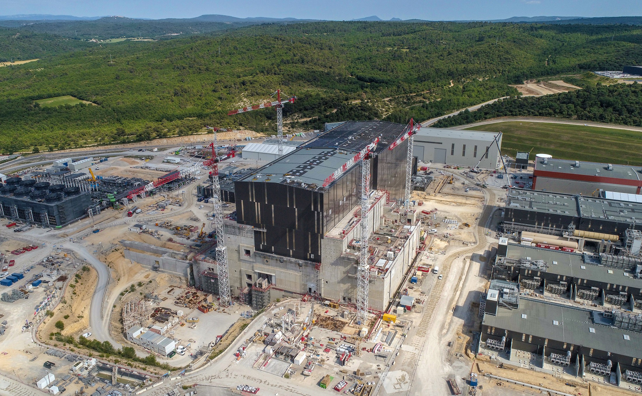
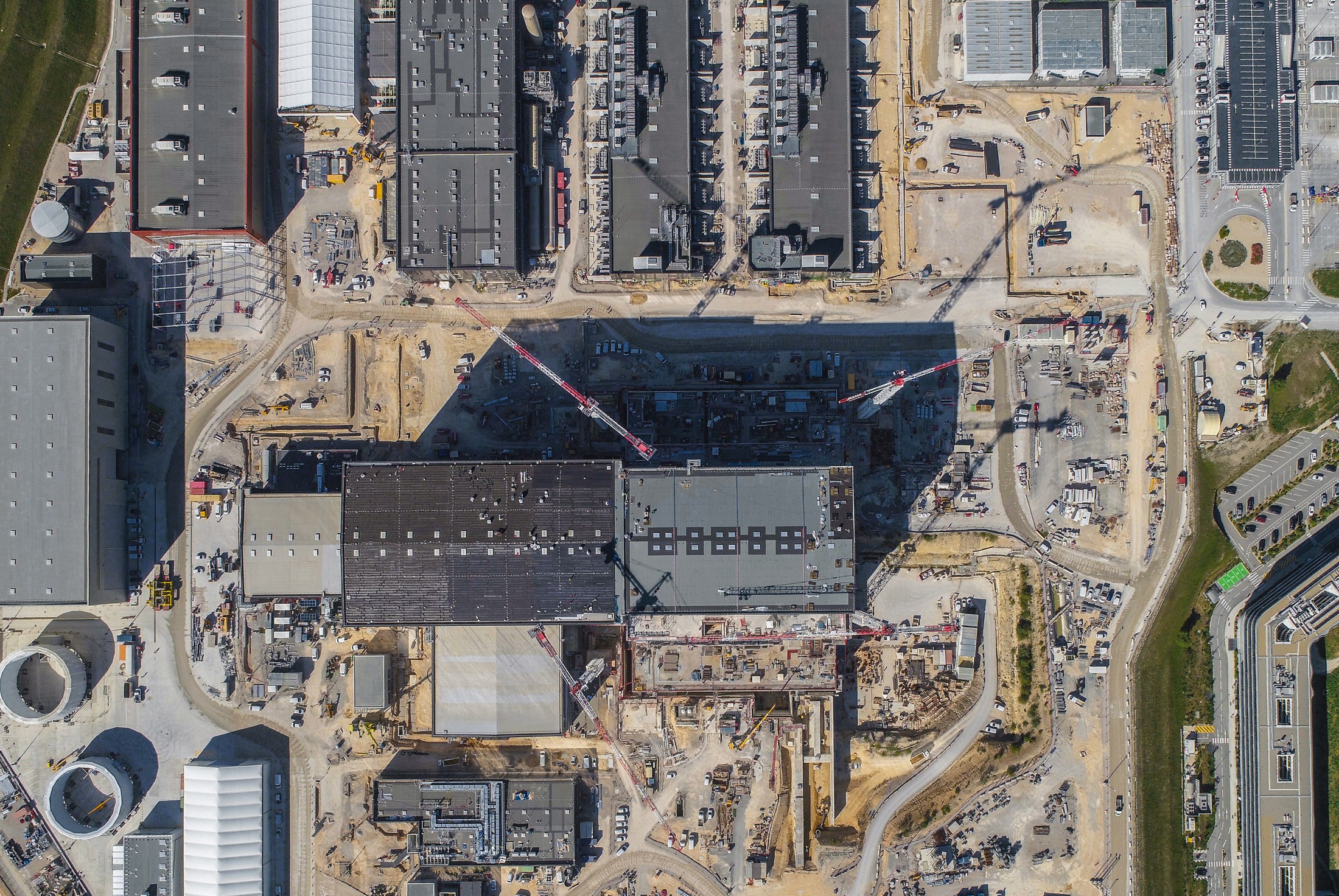
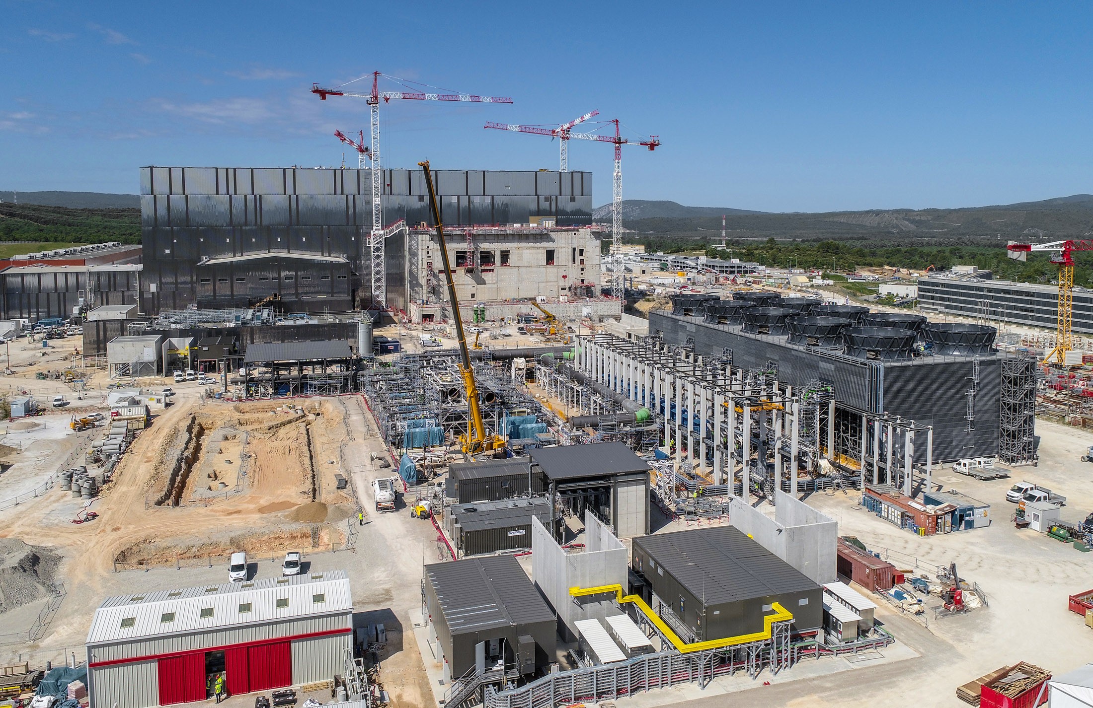
The ITER platform has all the attributes of a small town. It has landmark buildings, winding roads and large avenues, traffic lights and stop signs. It is a bustling world of people and vehicles, of projects spanning the scope of construction and industry. It is a place where 35 nations were brought together to prepare the future of our civilization. In this map, we have identified 28 buildings and facilities, some already operational, some at various stages of construction, and few not yet started. Other features—such as overhead bridges and roads—are not yet marked. In a few years, we will need an updated map to find our way on the ITER platform. Scroll below to see other pictures taken by drone in late May 2020.
|
1 — Tokamak Building
2 — Diagnostics Building
3 — Tritium Building
4 — Assembly Hall
5 — Radiofrequency Building
6 — Site Services Building
7 — Cleaning Facility
8 — Cryostat Workshop
9 — Magnets workshop
10 — Poloidal Field Coils Winding Facility
11 — Cryoplant12, 13 Magnet Power Conversion Buildings
14 — 400 kV Electrical Switchyard (ITER Organization)
15 — 400 kV Electrical Switchyard (RTE, Réseau de transport d'électricité, France)
|
16 — Heat Removal Zone/Cooling Tower Zone
17 — Future location of the Control Buildings
18 — Future location of the neutral beam injection power supply
19 — Future location of the Hot Cell Facility
20 — Contractors Area
21 — Contractors elevated parking lot
22 — ITER Organization Headquarters
23 — Tokamak Assembly Preparatory Building (in construction)
24 — Assembly workshop
25 — Poloidal Field Coil Facility extension for cold tests
26 — Temporary storage facility
27 — Temporary storage facility
28 — Temporary storage facility
C — Cryostat lower and upper cylinder (cocooned)
|


